6 May 2026
InsightsHow BotanicalMapper Began
Recording plant knowledge before it disappears
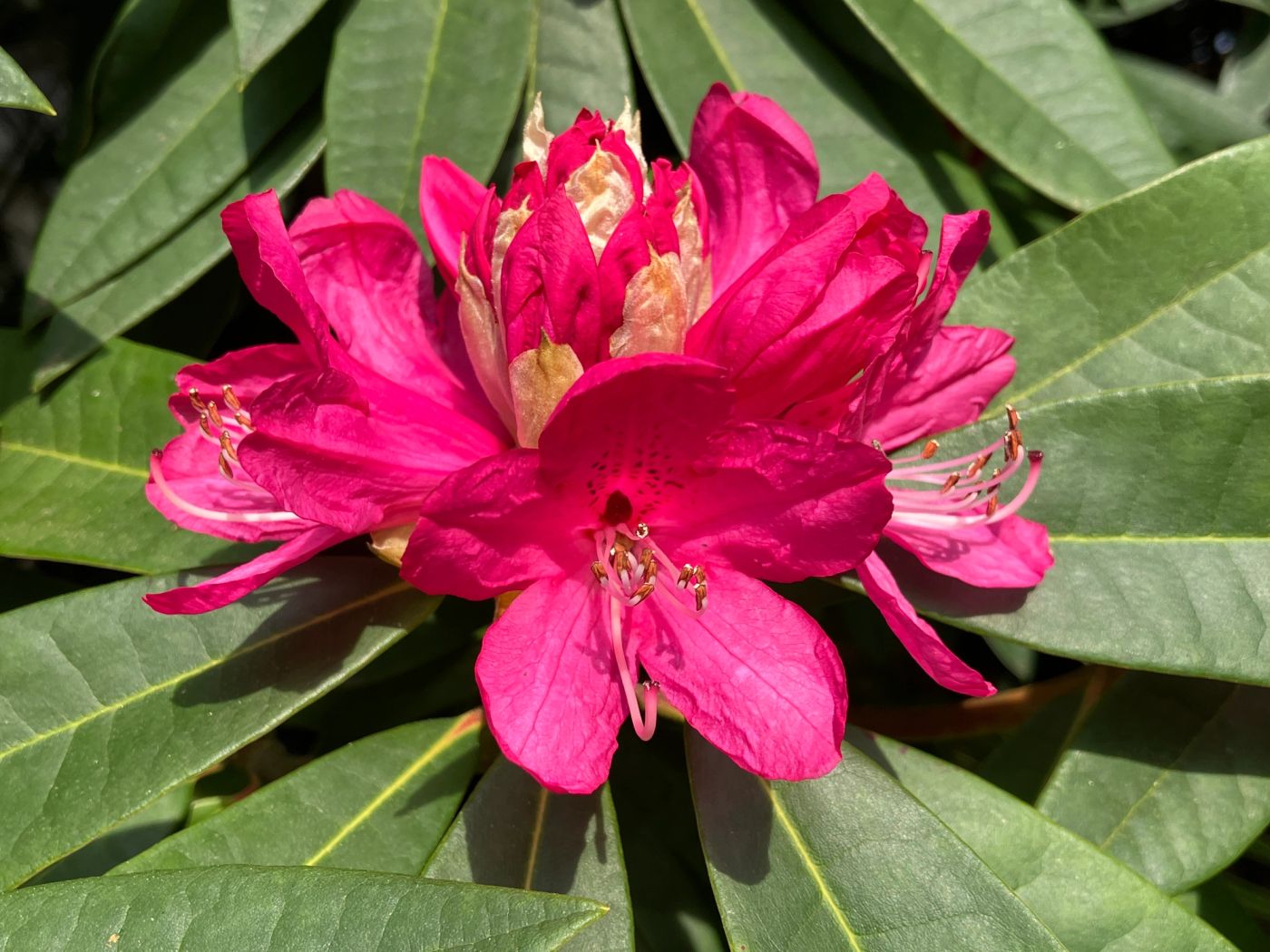
BotanicalMapper did not begin as a technology project. It began in a woodland garden, standing among mature rhododendrons.
I was working on a historic estate with a significant plant collection. Some plants were decades old. Some were rare hybrids. Some were known to have originated in that very garden.
While discussing labelling and a visitor map, the head gardener asked:
“How can we properly record all of this? GPS doesn’t seem accurate enough for plants, and we don’t have a quick way to record things.”
At the time, I had spent many years working in digital media, alongside several years as a full-time gardener. That question stayed with me.
The limits of human memory
In the past, head gardeners often knew a garden intimately. They did not rely on labels, and in some cases preferred not to use them. That was partly tradition, and partly practical. Rare plants are less tempting to take when they are not clearly identified.
But every garden changes hands.
Gardeners are temporary custodians. When knowledge lives only in memory, it does not transfer easily. When people move on, that understanding can be lost. On this estate, many mature plants were unlabelled. Identifying them meant working backwards from partial clues, comparing forms, and relying on experience.
If a plant had died years earlier and no one had recorded where it stood, valuable context disappeared with it. In collections with hybrids and historic planting, those missing links matter. Living collections carry history, both botanical and design. Without records, that history fades quietly over time.
A garden is not just planted - it is remembered.
A spreadsheet is not a garden
There was a spreadsheet. It listed plant names and taxonomy, including many types of rhododendron. But standing in the garden, or looking at a list on a screen, it did not answer practical questions:
- Which plant is this?
- Where is that one?
- What does it look like?
A list of names without location is disconnected from the reality of the garden.
It does not show relationships. It does not show context. It does not help you move through the space and understand what is around you. We needed something spatial.
The label dilemma
Public gardens often label extensively for visitors. In some settings, that works well.
In others, it does not.
Too many labels can distract from the planting itself. You begin to see labels instead of plants. They also take time to produce, need maintenance, and are easily damaged or lost. In our woodland setting, we preferred minimal labelling. Enough to guide visitors, but not enough to overwhelm the space. That meant the internal record needed to be strong, accessible, and not dependent on memory alone.
“There’s software for that, but…”
There are established systems for managing plant collections, such as ArcGIS and BG-Base. They are powerful, but they are also expensive and designed for organisations with specialist teams and training.
For a small team, they were not a realistic option. The alternative was to record GPS coordinates manually and store them in spreadsheets. Technically possible, but slow, repetitive, and not very helpful when you are standing in the garden trying to identify something.
Early experiments
The first attempts were improvised. I experimented with Google Maps, linking photos and manually copying GPS data from image metadata into map pins.
It worked, but only in a limited way. It was time-consuming and difficult to maintain. Every update involved copying, pasting, and checking. It quickly became administrative work rather than something that supported the day-to-day reality of gardening.
The issue was not a lack of tools. It was the lack of a tool designed specifically for recording plants in real gardens.
Rethinking the garden map
Most public gardens provide a printed map, sometimes also available online.
They are useful, but limited.
- You cannot see where you are in real time
- You cannot identify the plant next to you
- You cannot easily navigate dynamically
- They show paths, not living collections
That led to a simple idea. What if a visitor could scan a QR code and open a live map on their phone?
- See their position in the garden
- Tap on plants to learn more
- Explore at their own pace
Not replacing signage, but complementing it. A garden could remain visually uncluttered, while its knowledge remained fully available. That idea became central to BotanicalMapper.
The GPS question
There was understandable scepticism about GPS accuracy. Under dense canopy, signals can drift. But with a clear view of the sky, smartphone GPS is often precise enough for practical use.
More importantly, GPS does not work in isolation.
When you:
- Take multiple photos
- Include wider context shots
- Compare against aerial imagery
…you can refine positions using a combination of data and judgement.
BotanicalMapper uses this approach. GPS provides a starting point. The user adjusts and confirms.
For horticultural use, this is more than sufficient.
A more practical motivation
Remembering plant names is difficult, not just for beginners, but for anyone working with a large and varied collection. Recognition is often much stronger than recall.
Recording plants properly helps close that gap.
By photographing, naming, and revisiting plants over time, identification becomes more reliable and knowledge accumulates naturally. It becomes both a record and a working reference - reinforcing recognition and understanding with each return.
Capturing what would otherwise be lost
Gardens are seasonal. Some moments are brief. A rhododendron at its peak. An azalea in full colour. A tree in flower for a few days.
We take photos, but often lose track of them.
When those images are:
- Linked to a place
- Named
- Easy to find again
…they become far more valuable.
You can revisit them at any time. You can identify plants when they are not in bloom. They build a visual memory that supports the physical one.
A garden should not depend on memory alone
The idea behind BotanicalMapper is simple.
Gardens should not rely entirely on:
- Individual memory
- Temporary labels
- Notes that are easily lost
They need a way to record knowledge clearly, spatially, and over time.
BotanicalMapper grew from that need.
It exists to:
- Record plant knowledge in context
- Preserve horticultural history
- Reduce reliance on excessive labelling
- Make gardens searchable and explorable
A practical tool that fits the real world
BotanicalMapper is designed to sit between simple and complex systems.
It is:
- More structured than notebooks or photo collections
- Easier to use than specialist GIS or institutional databases
For larger organisations, it works alongside systems like ArcGIS or BG-Base:
- As a field tool
- As a working layer
- As a way to collect and organise data before exporting
For smaller teams and individuals, it can stand alone.
Safeguarding living history
At its core, BotanicalMapper is about continuity. Gardens evolve. People change. Knowledge shifts. Without a clear way to record what exists and where it is, that knowledge is easily lost.
By linking plants to place, images, and information, you create something that can be shared and passed on.
Not just a record of what is there now, but a foundation for what comes next.